
HIALEAH LAND SURVEYING SERVICES
Professional land surveying services in Hialeah, Florida and surrounding Miami-Dade County areas.
OUR SURVEYING SERVICES
Residential, commercial, and construction surveying solutions tailored for Hialeah properties.
Boundary Surveys
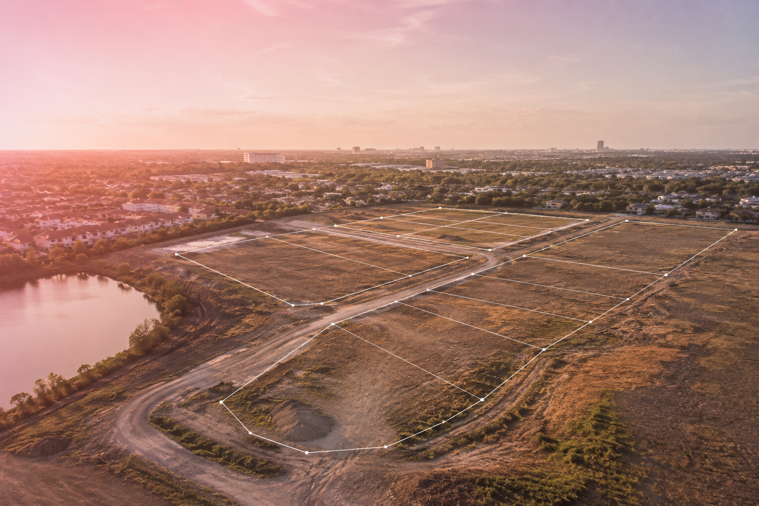
A boundary survey precisely identifies property lines, corners, and legal limits of a parcel. It is essential for fencing, property disputes, land development, and verifying ownership extents before construction or permitting.
PROPERTY ACCURACYTopographic Surveys
A topographic survey maps elevation changes, contours, structures, drainage flow, and site features. Engineers and architects use this data to design grading plans, drainage systems, and site layouts that comply with local conditions.
DESIGN READYALTA Surveys
An ALTA/NSPS Land Title Survey is a highly detailed commercial survey used by lenders and title companies. It combines boundary, easement, and improvement data to meet strict national standards for real estate transactions.
COMMERCIALConstruction Layout
Construction layout translates engineered plans into real-world field points. This ensures buildings, roads, utilities, and foundations are built in the correct location and elevation.
FIELD STAKINGDrone & LiDAR
Drone and LiDAR surveying provides high-accuracy aerial mapping of large or complex sites. It captures terrain models and site conditions faster than traditional methods for efficient planning.
MODERN TECHFlood Elevation Certificates
A FEMA Flood Elevation Certificate documents a structure’s elevation relative to flood zones. It is used for insurance rating, compliance, and building requirements in flood-prone areas.
FLOOD ZONESSERVING HIALEAH, FLORIDA
From residential neighborhoods to commercial developments across Hialeah, we deliver fast, accurate surveying with full compliance to local zoning and FEMA requirements.
GET A FAST QUOTE TODAY
Call our surveying team for reliable service and quick turnaround.
CALL 877-894-8001SURVEY FAQ.
PROFESSIONAL LAND SURVEYING,
FLOOD ELEVATION & ALTA SERVICES
A Boundary Survey identifies legal property lines, improvements, easements, fences, encroachments, and other important site features affecting ownership and development.
Boundary Surveys are commonly required when purchasing property, installing fences, building additions, applying for permits, or resolving property disputes.
Surveys typically show property corners, lot dimensions, easements, structures, utilities, driveways, fences, and visible encroachments affecting the parcel.
An ALTA/NSPS Land Title Survey is a highly detailed commercial survey often required by lenders, title companies, attorneys, and developers during transactions.
ALTA Surveys are commonly required for commercial property purchases, refinancing, development, and large real estate transactions involving title insurance.
Elevation Certificates document a structure’s elevation in relation to FEMA flood zones and Base Flood Elevations for insurance and permitting purposes.
In many cases, yes. If the structure is elevated above FEMA requirements, the certificate may help reduce flood insurance premiums.
A LOMA (Letter of Map Amendment) is an official FEMA determination that may remove a property from a Special Flood Hazard Area, potentially eliminating mandatory flood insurance requirements.